No products in the cart.
Directions To That Plane Wreck In Iceland Everyone Photographs
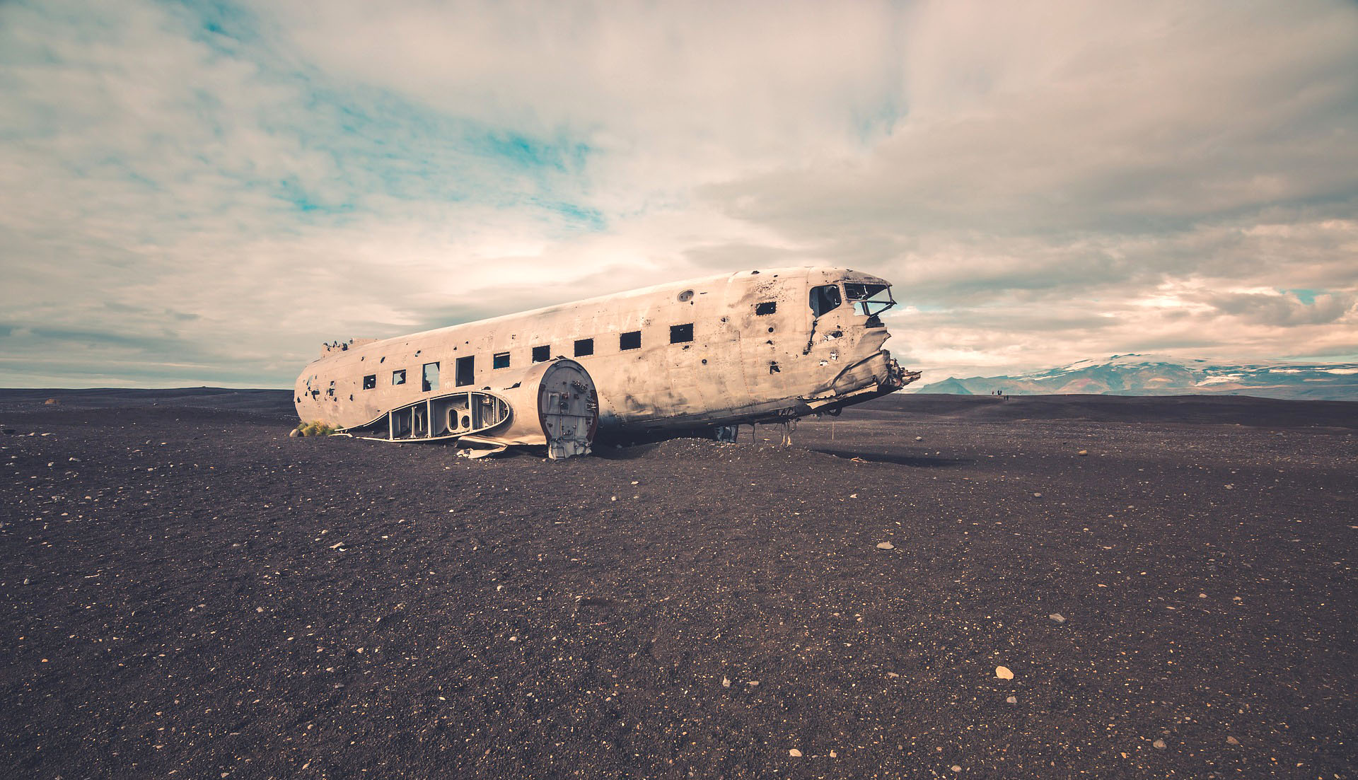
Never has a failure in aviation been more celebrated than with the wrecked Douglas Dakota DC3 in Sólheimasandur, Iceland. The United States navy plane went down in November 1973 after the pilot mistakenly believed he had exhausted the aircraft’s fuel reserve. At least, that’s one account of what happened. Another report claims the plane suffered from deicing. Regardless, no one is disputing that the plane crashed.
Miraculously, everyone onboard survived the crash with the plane mostly intact. The bones were left on a desolate black beach where the wreck has gained popularity over the years thanks to the apocalyptic backdrop that surrounds it.

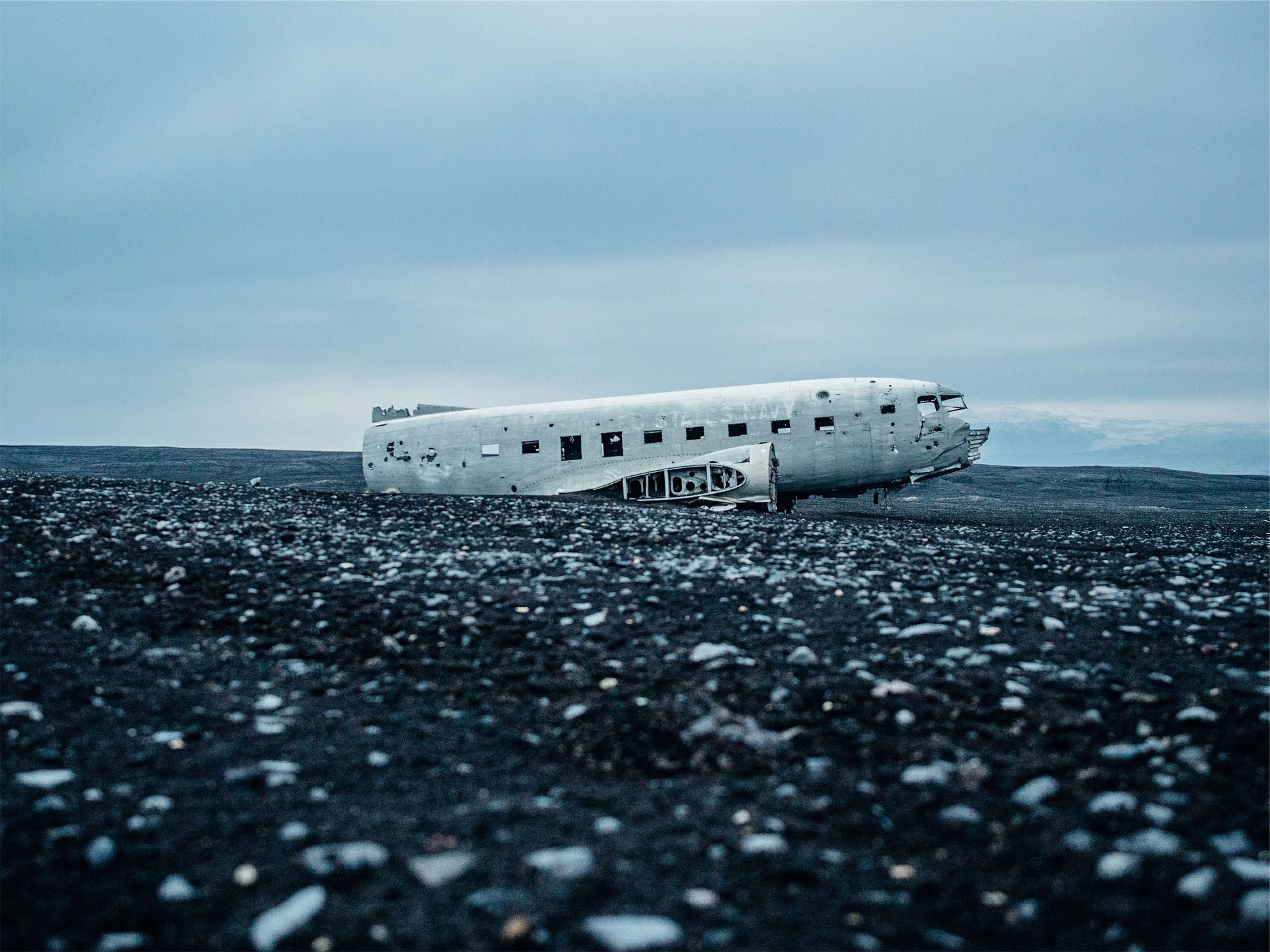

Thousands of tourists and locals hike to the site annually to snap photographs atop the wreckage (including myself pictured above). It’s a haunting site and one that requires a little work to get to. First, you’ll need a vehicle because it’s about a two hour drive from Reykjavik to the DC3. There isn’t an exact address per say (GPS coordinates 63.459523,-19.364618), but accomplishing your mission can be achieved by driving east on Route 1 towards Skógafoss Waterfall. From there, continue on until you pass Route 221. A few minutes after, you’ll see a parking area where the 4km hike to the wreck begins. This map highlights the pertinent info.
From your whip, it’s a roughly 50-minute trek on a flat, gravely path to the eerie landmark. If not wearing proper shoes, the walk can be annoying, but is still pretty simple. It should be noted however that if it’s snowing, it’s probably best to avoid this hike as staying on target can be difficult with no clear path to the site. Driving to the wreck has also been banned by locals so don’t get any wild ideas.
And while I didn’t experience this firsthand, I’m told that if you go during the fall or winter, you might luck out and see the Northern Lights on a clear night.